Know your property
before you buy
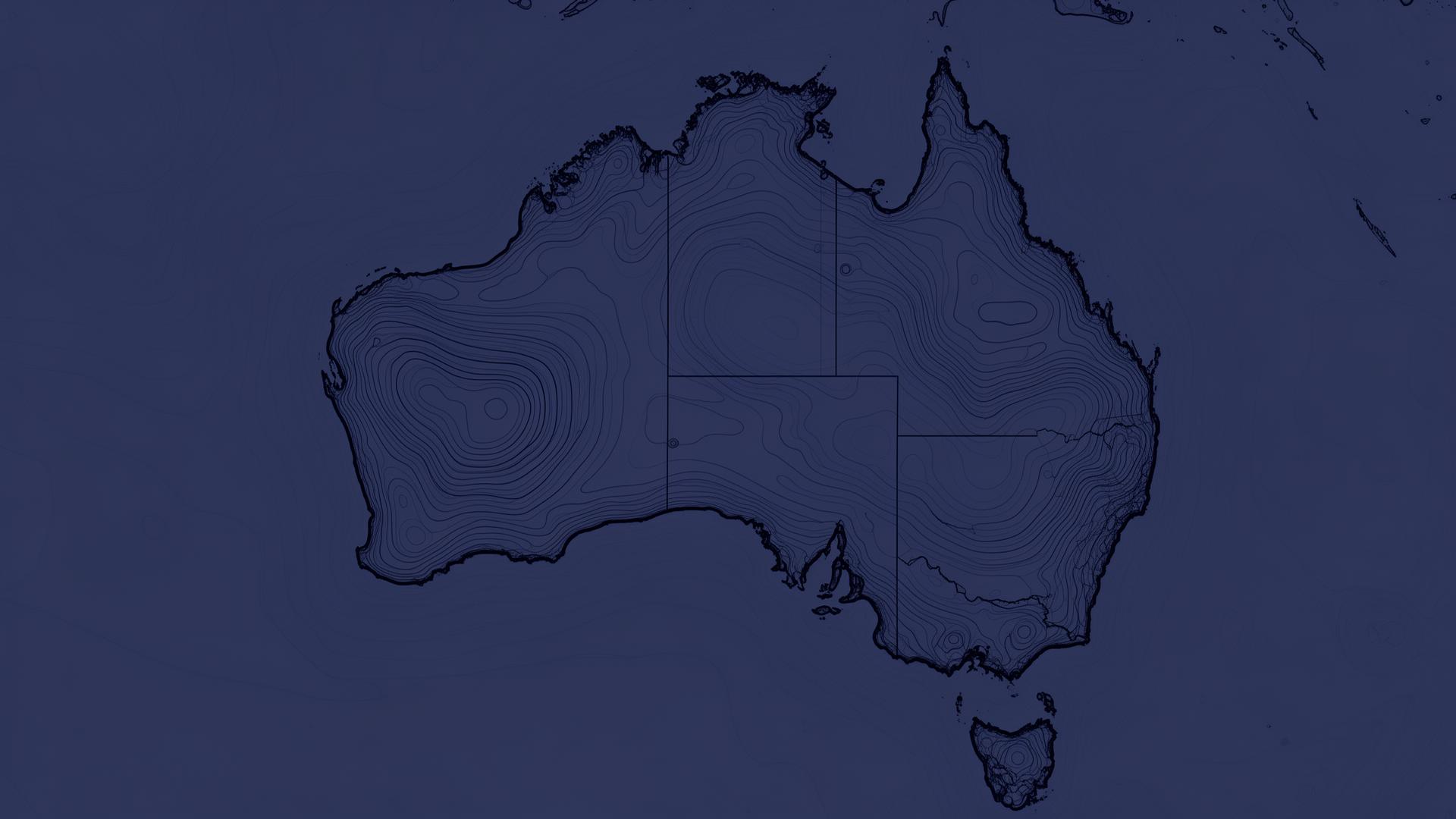
Bushfire, flood, crime, and livability data for any Australian address. Free suburb snapshots and detailed property reports for confident buying decisions.
Try "Bondi Beach NSW" or "42 Wallaby Way, Sydney"
All the data, one clear picture
We aggregate official government data sources into a single, easy-to-understand risk and livability profile for every suburb in Australia.
Bushfire Risk
Fire-prone area mapping from state fire authorities
Noise Exposure
Aircraft noise contours from ANEF data near major airports
Flood Zones
Flood overlay data from council and state sources
Coastal Erosion
Shoreline erosion risk from DEA satellite monitoring data
Crime Statistics
Local crime rates from police statistics databases
School Proximity
Nearest schools by type and sector with walking distance
Nearby Amenities
GPs, hospitals, childcare, pharmacies, parks, and police stations
Demographics
Population, income, and household data from ABS Census
Transport Access
Train, tram, bus, and ferry stops with transport access score
How it works
From search to full report in three simple steps.
Search your location
Enter any suburb name or full street address across Australia
View free snapshot
See suburb demographics, crime stats, and risk scores at a glance — no sign-up needed
Get your full report
Unlock the complete address-level PDF with bushfire history, erosion trends, school proximity, and more
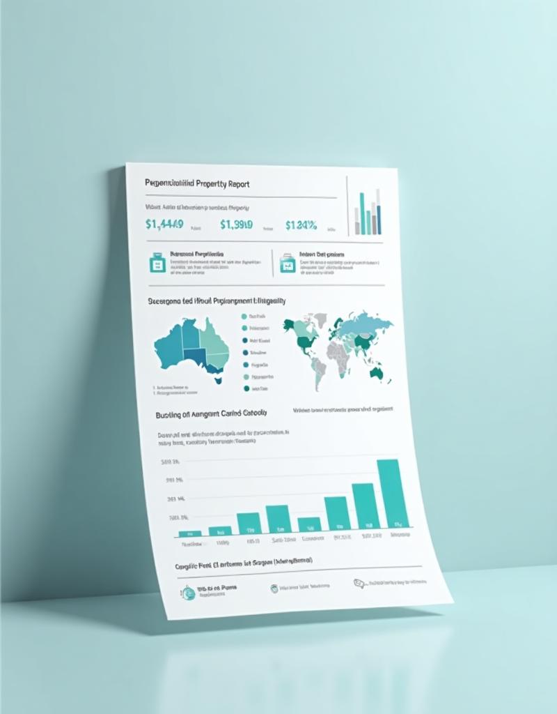
Go beyond the free snapshot
Free suburb pages show demographics, crime stats, and risk scores. The paid report unlocks everything at the address level — bushfire history, erosion trends, noise contours, school distances, and a composite risk score in one shareable PDF.
- Bushfire, flood, and coastal risk assessment
- Crime statistics and safety profile
- School proximity and ratings
- Transport accessibility score
- Demographic and household data
- Noise and environmental factors
- Historical risk trend data
- Personalised address-level analysis
One-time purchase. No subscription required. Instant PDF download.
Search an address to get startedBuilt on official data
Every data point comes from verified Australian government and authority sources.
Official Government Data
All data is sourced from federal, state, and local government databases — no estimates or guesswork.
National Coverage
Over 15 million addresses and 15,000 suburbs across every state and territory in Australia.
Regularly Updated
Data is refreshed as new information becomes available from source authorities.